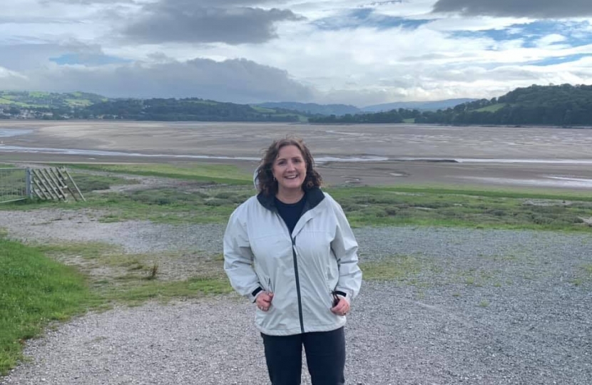
The Welsh Conservatives Shadow Minister for Climate Change, Energy and Rural Affairs – Janet Finch-Saunders MS – has urged the Welsh Government to be more transparent in its dealings with flood hit communities, as she welcomes a new digital tool from Natural Resources Wales (NRW).
NRW has launched an update to its online flood mapping service that looks to bring relevant and accurate flooding data to the people of Wales. The agency says that the new data, which was collected between 2017 and 2019, can now be used to plan for flooding incidents and develop flood management plans across the country. The update coincides with the launch of the Welsh Government’s National Strategy for Flood and Coastal Risk Management in Wales.
Commenting, Janet said:
“Whilst I welcome this first step at greater transparency by Natural Resources Wales, with their digital tool providing essential data to the residents to help to plan for future flood incidents, this should only be viewed as the first step towards a more transparent and proactive process to protect homes and livelihoods.
“Therefore, I urge the Welsh Government to not sit on their laurels, believing that this symbolic digital gift is merely their job done. Having reviewed the administration’s new flooding strategy, I am deeply concerned by the lack of movement on calls for independent reviews. This would be the place to start to ensure that communities are truly involved in the flood protection process.
“I have also consistently called upon the Welsh Government to address concerns around the delivery of official reports, asking them to set a realistic and reasonable statutory time frame for these publications so that future communities are not left adrift when waiting for the clarity that will allow them to rebuild their lives. Once again, there has been no movement here either.
“If the Welsh Government is serious about its commitment to proactive community engagement as a means of developing local flood prevention strategies, then these two urgent points must be delivered. The provision of data and maps alone will come as no comfort to those residents still reeling from the tragic flood events of earlier this year.”
ENDS

